This is a blog for me to post articles, tips and tricks, and other useful GIS information. I am writing this to help people with GIS. I am also trying to keep my teaching skills up. While many posts deal with ArcGIS, some will also use other software like QGIS.
All datasets will be freely available with their locations cited. If you would like ArcGIS to learn on I would suggest the home license. It is great to play with and will give you lots of tools to explore.
Thanks for stopping by.
A little about myself:
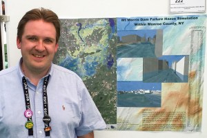
I have a BS/MS in Environmental Science from the Rochester Institute of Technology. I started working with IDRISI in one of my ecology classes, but it was not until an independent study and summer project that I really found GIS. The first project I worked on was with Wetlands in the Lake Ontario/ Rochester Embayment and was featured as a chapter in the GIS and Environmental Management book from the ESRI Press. Since then, I have worked in County Government on many different projects for about 13 years and worked for a consulting firm for about 2 years. The projects range from redistricting to transportation, wetlands, asset management, and emergency management. I have also been teaching faculty at a university for 7 years and adjuncting courses for over 20 years, often focusing on GIS, spatial representation, cartography, and database management. I also have my Remote Pilot Certification and am exploring the uses of UAV technology. Many of these projects have become presentations, and I will occasionally write about them here.
Currently, I am back being a student, working towards my PhD in Computing and Information Sciences, focusing on the intersection of spatial computing and human-computer interaction. A focus of this research is on looking at why emergency managers and other government officials do not always use both GIS and other technologies effectively, and attempt to bridge those gaps.
This is a personal blog, and the views are my own.
