Designing a geodatabase can be quite time consuming if you are going through the individual tools in ArcGIS Desktop or ArcGIS Pro, but there is a pretty cool tool called X-Ray for ArcCatalog which makes it easy. X-Ray is a add on provided by the esri local government group (https://www.arcgis.com/home/item.html?id=9ea218ff575f4a5195e01a2cae03a0ae) and works with desktop versions up to the current. When it is installed it acts like an extension and is seen in another side panel with some easy to use tools. I will show some of the different tools and how you can utilize them for your own design and documentation of your geodatabase.
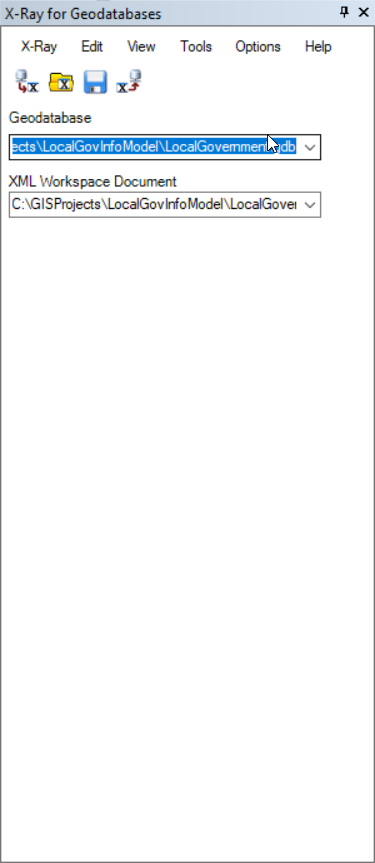
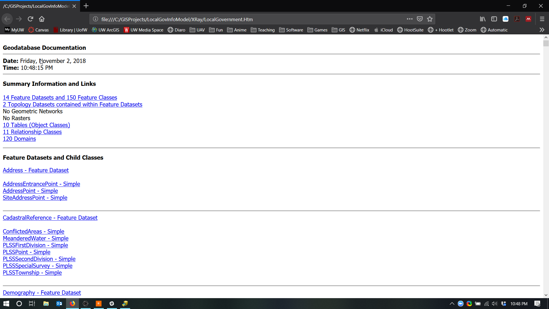
First you need to open a geodatabase and lost it to X-Ray. All you need to do is click on it and then press ![]() which will convert it to the X-Ray structure. Then you can go in and view the Data Dictionary. This is a great way to see what is the scheme of the entire geodatabase in a single document. You can also view it as a SVG graphic which can be brought into another program such as Inkscape or Adobe Illustrator.
which will convert it to the X-Ray structure. Then you can go in and view the Data Dictionary. This is a great way to see what is the scheme of the entire geodatabase in a single document. You can also view it as a SVG graphic which can be brought into another program such as Inkscape or Adobe Illustrator.

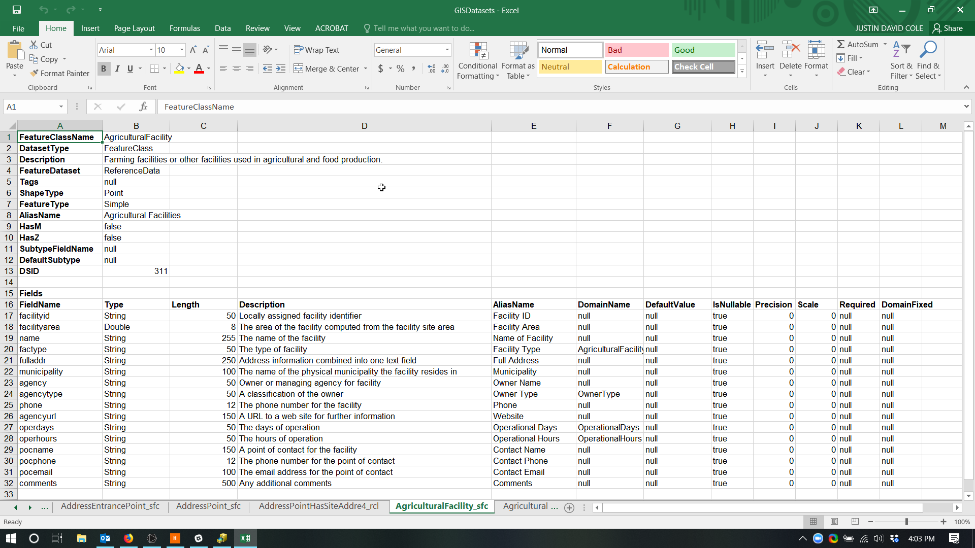
Next is the editing functionality of X-Ray which is really cool. It uses Microsoft Excel to allow you build your schema. With the edit drop down you can open any of the different components of your geodatabase.

After editing and working with your Geodatabase schema in the excel environment you can deploy it to a blank geodatabase very easily by using the ![]() button. This takes your XML document and loads the schema for you. If you have the need to change the projection, you can do this within the option menu.
button. This takes your XML document and loads the schema for you. If you have the need to change the projection, you can do this within the option menu.
I hope this general overvicew of X-Ray is useful. There is a fairly good help document found within the addon. Currently X-Ray is only for Desktop there is an ArcGIS Idea post (https://community.esri.com/ideas/13643-x-ray-for-arcgis-pro) to have the tool migrated to ArcGIS Pro, so if this tool is of value to you you can upvote the idea.
Update for ArcGIS Pro
Since I wote this article, there has not been a lot of development on porting the addon to ArcGIS Pro. When ArcGIS Pro 3.1 was released esri releeased the roadmap of what is coming next. One of the things for the next release is similar functionality to X-Ray’s Schema Reporting.

Schema Reporting – Tools to generate data model reports and data dictionaries, similar to the ArcMap X-Ray add-in.
https://community.esri.com/t5/arcgis-pro-documents/arcgis-pro-roadmap-february-2023/ta-p/1261591
There is also now a listing of other addons, includingX-Ray with their status’ so if there are other tools that you may use, check the list. https://community.esri.com/t5/education-blog/i-can-t-live-without-arcmap-because-plugins-add/bc-p/1314746#M1913
